
Basic non-geostatistic methods of resources rock raw materials estimation
Online course |
|
50 hours / 6 weeks |
|
To be determined |
Introduction
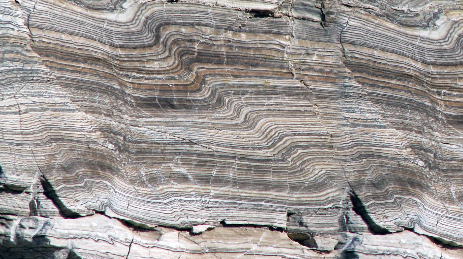
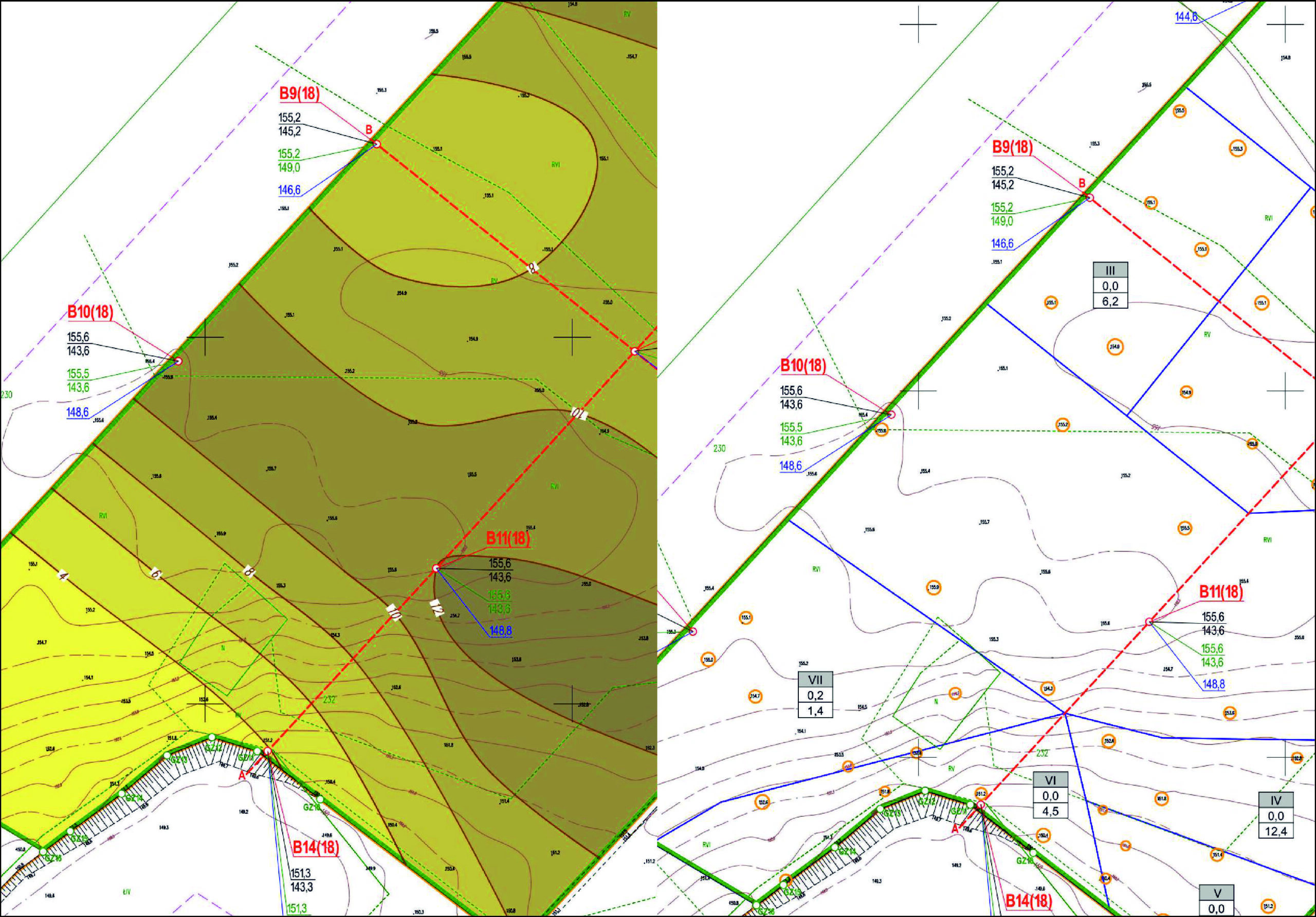
It is not always necessary to use the geostatistical methods for resource estimation. Sometimes, especially when the collected data shows no dependencies and trends or the amount of data collected are not sufficient for geostatistical tools, the best way to estimate resources is by basic methods such as arithmetic mean, polygon, triangulation, blocks or IDW. In this course you will prepare borehole maps, special parameter maps and use Excel and QGis for estimation.
The course uses the Cambridge University Press textbook “An Introduction to Python Programming for Scientists and Engineers”. The textbook is not included as part of the course fee. To obtain a copy, you must purchase the book separately from a bookstore of your choice. The instructor of the course is the lead author of the textbook.
Objectives
The targets of this course are:
– Understanding a statistics to describe a data set
– Geometrization of the deposit
– Cognition and understanding of different resource estimation methods
– Choosing the right method of resources estimation
– Practical use of resources estimation methods on the real data from existing deposits
– Practical use of QGis and Excel in resources estimation
Module 1
Theoretical background:
- – Shape of the deposits
- – Geometrization of deposits
- – Building domains
- – Geological description
- – Statistical description
Module 2
Theory of basic non-geostatistic methods of estimation:
- – Arithmetic mean method
- – Block method
- – Polygonal method
- – Triangulation method
- – IDW method
Module 3
QGIS and Excel as tools:
- – Map loading (QGIS)
- – Data visualization (QGIS)
- – Table of parameters (Excel)
- – Statistic (Excel)
Module 4
Case study:
- – Data visualization
- – Data analysis
- – Statistic
- – Estimation using every methods
- – Analysis of result differences
Patryk Domański
Patryk Domański is a Polish geologist with over 10 years of experience in geological, geophysical and drilling projects. He has extensive theoretical and applied knowledge in the field of economic geology. Enthusiast of the profession and lecturer at the University of Gdańsk, constantly expanding knowledge in the field of geology. He works as an economic geologist at onshore and offshore sand and gravel deposits, clay, peat and amber deposits. He also works as an offshore geotechnical engineer. His experience includes resource estimation, mining geology, open-pit mine design, field geology, drilling supervision. In his professional career, he has held various positions, from field geologist, mining geologist to the head of the Geology and Mining Department in a construction company.
All of our courses are offered 100% online, through our intuitive Virtual Campus. Topics are taught through:
- – Videos
- – Interactive multimedia content
- – Live classes
- – Texts
- – Case studies
- – Evaluation exercises
- – Additional documentation
The content is updated in each new course edition, so that knowledge is acquired around the latest news and state-of-the-art geotechnical engineering technology.
One of the most interesting aspects of our courses is the use of live videoconferences, in which teachers and students interact in a continuous exchange of knowledge and problem solving. In addition to this, students can make use of the platform’s forum, a meeting point where they can interact with teachers and other students.
A tutoring system will also be established by email, which will resolve any possible doubts about the course, and which will serve as a point of connection for students with specific questions on each module.
Students can also download all course documentation, including texts, videos, video conferences and exercises.
This course is designed for geologists, mining geologists and mining engineers who are beginning their careers in mining. Especially for everyone working in mining companies or project offices, as well as for mining and geology students who want to expand their knowledge.
At the end of the course, and as accreditation of knowledge acquired and of the technical and practical training, students who correctly complete the corresponding evaluation tests of the geotechnical engineering course will obtain an academic certificate issued by Ingeoexpert. This digital certificate is protected by Blockchain technology, making it unique and tamper-proof, thus enabling companies to verify its authenticity.
It can also be downloaded by students, forwarded by email and shared on social networks, as well as embedded on any website. You can see an example here.
The course gives participants a basic understanding of resource estimation methods. This allows for a better understanding of the nature of the model, size and quantity of deposit. After this course, you will be prepared to create resource documentation and will be a great support in mining companies or design offices.
Introduction
It is not always necessary to use the geostatistical methods for resource estimation. Sometimes, especially when the collected data shows no dependencies and trends or the amount of data collected are not sufficient for geostatistical tools, the best way to estimate resources is by basic methods such as arithmetic mean, polygon, triangulation, blocks or IDW. In this course you will prepare borehole maps, special parameter maps and use Excel and QGis for estimation.
The course uses the Cambridge University Press textbook “An Introduction to Python Programming for Scientists and Engineers”. The textbook is not included as part of the course fee. To obtain a copy, you must purchase the book separately from a bookstore of your choice. The instructor of the course is the lead author of the textbook.
Objectives
The targets of this course are:
– Understanding a statistics to describe a data set
– Geometrization of the deposit
– Cognition and understanding of different resource estimation methods
– Choosing the right method of resources estimation
– Practical use of resources estimation methods on the real data from existing deposits
– Practical use of QGis and Excel in resources estimation
Module 1
Theoretical background:
- – Shape of the deposits
- – Geometrization of deposits
- – Building domains
- – Geological description
- – Statistical description
Module 2
Theory of basic non-geostatistic methods of estimation:
- – Arithmetic mean method
- – Block method
- – Polygonal method
- – Triangulation method
- – IDW method
Module 3
QGIS and Excel as tools:
- – Map loading (QGIS)
- – Data visualization (QGIS)
- – Table of parameters (Excel)
- – Statistic (Excel)
Module 4
Case study:
- – Data visualization
- – Data analysis
- – Statistic
- – Estimation using every methods
- – Analysis of result differences
Patryk Domański
Patryk Domański is a Polish geologist with over 10 years of experience in geological, geophysical and drilling projects. He has extensive theoretical and applied knowledge in the field of economic geology. Enthusiast of the profession and lecturer at the University of Gdańsk, constantly expanding knowledge in the field of geology. He works as an economic geologist at onshore and offshore sand and gravel deposits, clay, peat and amber deposits. He also works as an offshore geotechnical engineer. His experience includes resource estimation, mining geology, open-pit mine design, field geology, drilling supervision. In his professional career, he has held various positions, from field geologist, mining geologist to the head of the Geology and Mining Department in a construction company.
All of our courses are offered 100% online, through our intuitive Virtual Campus. Topics are taught through:
- – Videos
- – Interactive multimedia content
- – Live classes
- – Texts
- – Case studies
- – Evaluation exercises
- – Additional documentation
The content is updated in each new course edition, so that knowledge is acquired around the latest news and state-of-the-art geotechnical engineering technology.
One of the most interesting aspects of our courses is the use of live videoconferences, in which teachers and students interact in a continuous exchange of knowledge and problem solving. In addition to this, students can make use of the platform’s forum, a meeting point where they can interact with teachers and other students.
A tutoring system will also be established by email, which will resolve any possible doubts about the course, and which will serve as a point of connection for students with specific questions on each module.
Students can also download all course documentation, including texts, videos, video conferences and exercises.
This course is designed for geologists, mining geologists and mining engineers who are beginning their careers in mining. Especially for everyone working in mining companies or project offices, as well as for mining and geology students who want to expand their knowledge.
At the end of the course, and as accreditation of knowledge acquired and of the technical and practical training, students who correctly complete the corresponding evaluation tests of the geotechnical engineering course will obtain an academic certificate issued by Ingeoexpert. This digital certificate is protected by Blockchain technology, making it unique and tamper-proof, thus enabling companies to verify its authenticity.
It can also be downloaded by students, forwarded by email and shared on social networks, as well as embedded on any website. You can see an example here.
The course gives participants a basic understanding of resource estimation methods. This allows for a better understanding of the nature of the model, size and quantity of deposit. After this course, you will be prepared to create resource documentation and will be a great support in mining companies or design offices.
More info
Finish this course and get a certificate based on Blockchain
Basic non-geostatistic methods of resources rock raw materials estimation
Blockchain technology makes the certificate incorruptible, enabling companies to verifiy its autenticity.
Reviews
There are no reviews yet.